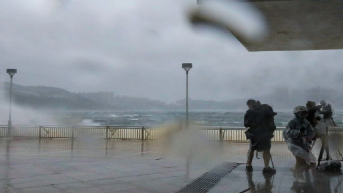
Hong Kong is under the highest alert as Typhoon Wipha barrels towards the city. The Hong Kong Observatory raised the T10 signal, its most severe warning, on Sunday morning. The warning, activated at 9:20 am local time, signifies anticipated winds averaging 118km/h or greater. The typhoon is expected to skirt around 50km south of Hong Kong around midday. The last instance of a No. 10 signal was during Super Typhoon Saola in 2023, which led to significant damage and injuries. The ongoing storm has forced the cancellation of the Hong Kong Book Fair and over 500 flights, significantly impacting travel and public events. The public is urged to take safety measures. If the eye of the cyclone passes directly over Hong Kong, residents should be prepared for a temporary calm followed by a sudden return of strong winds. The storm surge caused water levels to rise to about 3 meters at Tai Po Kau, and gusts exceeding 103 kilometers per hour were observed at Tate’s Cairn. Neighboring provinces, Hainan and Guangdong, remain vigilant. Wipha has resulted in one reported injury and numerous uprooted trees. Government shelters have provided refuge to 214 people. The Airport Authority anticipates some flight resumption in the afternoon. Several MTR lines are running limited services, with some transport systems, including the Light Rail and Airport Express, suspended. Experts note the link between rising sea temperatures and the intensification of tropical cyclones.

